

Measuring & distances
The Measure Tool lets anyone at the table check how far it is between points on a world map. Calibrate it once to your world’s scale and every measurement reads in your own units — miles, leagues, days of travel, whatever you like.
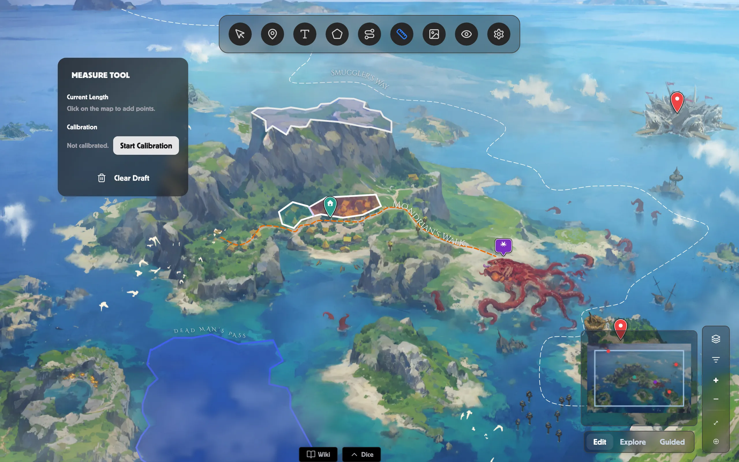
Measure a distance
Section titled “Measure a distance”-
Pick the Measure Tool from the toolbar.
-
Click on the map to add points. The Current Length updates as you go — drop several points to measure along a winding route.
-
Click Clear Draft to start a new measurement.
Before you calibrate, lengths show as raw pixels marked (uncalibrated).
Calibrate to your world’s scale
Section titled “Calibrate to your world’s scale”-
In the Measure panel, click Start Calibration.
-
When it says “Click two points on the map to set calibration,” click two spots a known distance apart — a scale bar on your map is perfect.
-
Type that real distance in the number box and the unit beside it (for example
50andmi). -
Click Apply.
The panel now shows Calibrated, and every measurement reads in your unit.
Recalibrate or clear
Section titled “Recalibrate or clear”- Recalibrate — set the scale again with two fresh points.
- Clear — remove the calibration and go back to plain pixel lengths.
Related
Section titled “Related”- World Map overview — everything on a world-map scene.
- Paths — draw the routes you’re measuring.
- Navigating the map — pan and zoom while you measure.
- World Map in a Room — measure together at the table.